Publié le 27 October 2020 — Modifié le 13 October 2021
Aerial photographs of coastal areas could be seen as an original version of the ortho-photographs published by Géolittoral (and via the SAR catalog). These "historical" geographic data have many uses, including tracking the evolution of coastal areas over time : artificialisation, shoreline retreat, etc.
Aerial photographs can be viewed and downloaded freely on numerous online platforms. For reference, here is a selection of portals where photographs from aerial campaigns can be found :
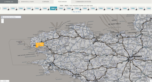
- IGN's Remonter le temps (go back in time) portal enables the user to download aerial photographs from 1919 to our days throughout the entire french territory : https://remonterletemps.ign.fr/
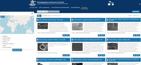
- The website Photographies anciennes du littoral (ancient photographs of coastal areas) presents a collection of the French Hydrographic and oceanographic service of the navy's (Shom) aerial photographs from the archives of the French Research Institute for Exploitation of the Sea (Ifremer) : https://sextant.ifremer.fr/photos-anciennes-littoral
- Local geographic data infrastructures (IDG) can also enable visualisation and/or download of aerial photographs. They can also offer innovating tools for comparison between photographs of different periods. The photographs may originate from other organisations, or from aerial photographic campains launched locally. For example :
- "Bretagne, de 1950 à nos jours" (Brittany, from 1950 to our days) tool by GéoBretagne : https://geobretagne.fr/sviewer/dual.html
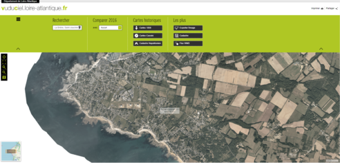
- "vuduciel.loire-atlantique" (seen from the sky Loire-Atlantique) tool : https://vuduciel.loire-atlantique.fr/